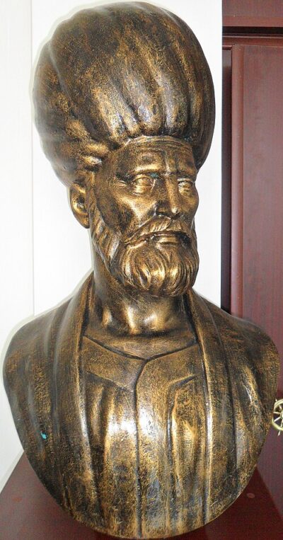
Kitab-ı Bahriye
Kitab-ı Bahriye is a book written by Piri Reis. It came out in 1521.
- Published
- 1521
- Written by
- Piri Reis
- Genre
- portolan chart
All 5 facts, and where they come from
Facts
5 facts · 0 confirmed by two sources · 0 cited · 5 from one source
Where this comes from
Papalocal keeps its own record. It started from these sources; what each one said is kept here as it was copied, so a change on their side never changes this page by itself. Tap one to read its version.
What Wikidata says · copied November 17, 2026 · revision 2514886287
- Described as
- book written by Piri Reis
- What it is
- written work
- Written by
- Piri Reis
- Genre
- portolan chart · 1 reference
- Published
- 1521
- Language
- Ottoman Turkish · 1 reference
- Wikipedias with a page
- 9
Wikidata item Q1750805 (wikidata.org/wiki/Q1750805), public domain (CC0). Copied 2026-11-17.
What Wikipedia says · copied November 17, 2026 · revision 1373749949
The Kitab-ı Bahriye (Ottoman Turkish: كتاب بحریه, lit. 'Book of the Sea') is a navigational guide written by Piri Reis, an Ottoman cartographer, corsair, and captain. He compiled charts and notes from his career at sea into the most detailed portolan atlas of the Mediterranean Sea in existence. The Kitab-ı Bahriye combines information from a range of sources and Piri Reis' personal experience. The coast of North Africa relies little on outside sources. The book is also one of the few primary sources of information on Piri Reis.
There are two versions of the book. The first version was composed between 1511 and 1521, and presented as a gift to the sultan Suleiman the Magnificent. The second, expanded version was produced as a commission for Ottoman Grand Vizier Pargalı İbrahim Pasha, and completed in 1526.
Both versions begin with a preface and were dedicated to the sultan Suleiman. The main part of both versions is a nautical atlas to the Mediterranean Sea. Separate chapters cover different locations with corresponding portolan charts. Piri Reis says he composed an atlas with separate maps and charts because the details in any single map are limited by the space available. There are 130 chapters in the first version and 210 in the second. The chapters start at the Dardanelles and move counter-clockwise around the Mediterranean. The maps have compass roses indicating North for each page. Scale is indicated only in the textual descriptions, not with scale bars. Standard portolan symbols indicate hazards, like dots for shallow water and crosses for rocks. Written when Ottoman sailors relied on oar-driven galleys and galiots, the Kitab-ı Bahriye reflects their needs and capabilities. It gives information on coastal waters, safe harbors, hazards, and sources of fresh water.
The second version also includes a longer introduction written in verse. It offers information on storms, winds, navigating with a compass, navigating by the stars, reading portolan charts, and the oceans. It discusses recent Portuguese and Spanish voyages including the voyages of Christopher Columbus to the Americas and Vasco da Gama's discovery of a sea route to India. The description of the Americas also includes fantastical hearsay. The book offers the first detailed Ottoman description of the Indian Ocean, with special attention given to Hormuz.
The book achieved fame only after the death of its author. The known surviving manuscripts are all copies created after 1550. At least some portion of the book has been translated into English, modern Turkish, Greek, French, German, and Italian.
From the Wikipedia article “Kitab-ı Bahriye” (en.wikipedia.org/wiki/Kitab-ı_Bahriye), by its contributors, under CC BY-SA 4.0 (creativecommons.org/licenses/by-sa/4.0/). Copied 2026-11-17; not changed.
Confirmed Two sources agree. Cited One source, and it names where it got it. One source One source, without a reference of its own. Sources disagree The sources disagree. We show the best-supported value and keep theirs below.
Picture: Wikimedia Commons: The Harbour of Marseilles by Ottoman Admiral Piri Reis 1526.jpg · See Commons file page