A trigonometrical survey of the island of Cyprus
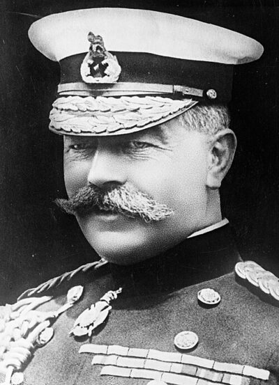
A trigonometrical survey of the island of Cyprus is a map of the island of Cyprus from the first trigonometric survey that was completed in 1882. Consists of 15 sheets (the map itself) plus the title sheet plus the index sheet. It came out in 1885. It was created by Horatio Kitchener, 1st Earl Kitchener.
- Released
- April 8, 1885
- Came out
- September 1878
- Created by
- Horatio Kitchener, 1st Earl Kitchener
All 8 facts, and where they come from
Facts
8 facts · 0 confirmed by two sources · 2 cited · 6 from one source
Where this comes from
Papalocal keeps its own record. It started from these sources; what each one said is kept here as it was copied, so a change on their side never changes this page by itself. Tap one to read its version.
What Wikidata says · copied November 17, 2026 · revision 2306834085
- Described as
- map of the island of Cyprus from the first trigonometric survey that was completed in 1882. Consists of 15 sheets (the map itself) plus the title sheet plus the index sheet
- Other names
- Kitchener's Survey of Cyprus
- What it is
- topographic map; engraving; atlas
- Created by
- Horatio Kitchener, 1st Earl Kitchener · 1 reference
- Publisher
- Edward Stanford
- Released
- April 8, 1885
- Language
- British English
- Came out
- September 1878 · 1 reference
Wikidata item Q111367270 (wikidata.org/wiki/Q111367270), public domain (CC0). Copied 2026-11-17.
Confirmed Two sources agree. Cited One source, and it names where it got it. One source One source, without a reference of its own. Sources disagree The sources disagree. We show the best-supported value and keep theirs below.