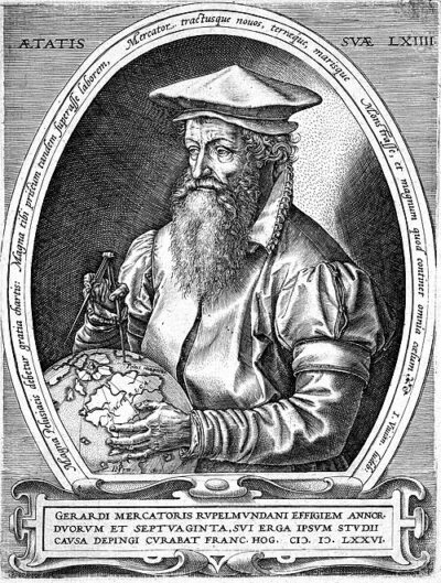
Mercator projection
Mercator projection is a cylindrical map projection invented by Gerardus Mercator in 1569.
- Came out
- 1569
All 5 facts, and where they come from
Facts
5 facts · 0 confirmed by two sources · 0 cited · 5 from one source
Where this comes from
Papalocal keeps its own record. It started from these sources; what each one said is kept here as it was copied, so a change on their side never changes this page by itself. Tap one to read its version.
What Wikidata says · copied November 17, 2026 · revision 2548835632
- Described as
- cylindrical map projection invented by Gerardus Mercator in 1569
- Other names
- universal transverse Mercator, cylindrical conformal projection
- What it is
- cylindrical projection; conformal map projection; invention
- Came out
- 1569
- Named after
- Gerardus Mercator
- Wikipedias with a page
- 56
Wikidata item Q309372 (wikidata.org/wiki/Q309372), public domain (CC0). Copied 2026-11-17.
What Wikipedia says · copied November 17, 2026 · revision 1382928340
The Mercator projection () is a conformal cylindrical map projection first presented by Flemish geographer and mapmaker Gerardus Mercator in 1569. In the 18th century, it became the standard map projection for navigation due to its property of representing rhumb lines as straight lines. When applied to world maps, the Mercator projection inflates the size of lands the farther they are from the equator. Therefore, landmasses such as Greenland and Antarctica appear far larger than they actually are relative to landmasses near the equator. Its use for maps other than marine charts declined throughout the 20th century, but resurged in the 21st century due to characteristics favorable for online mapping.
From the Wikipedia article “Mercator projection” (en.wikipedia.org/wiki/Mercator_projection), by its contributors, under CC BY-SA 4.0 (creativecommons.org/licenses/by-sa/4.0/). Copied 2026-11-17; not changed.
Confirmed Two sources agree. Cited One source, and it names where it got it. One source One source, without a reference of its own. Sources disagree The sources disagree. We show the best-supported value and keep theirs below.
Picture: Wikimedia Commons: World borders mpr.png · See Commons file page